3 properties in pincode 722121
3 properties are listed in pincode 722121, Bheduasole, Bankura (November 2026).
Bheduasole, Bankura, WEST BENGAL
A pincode is a postal zone, not a locality. Post office names are shown as they appear in the directory.
3 homes match.
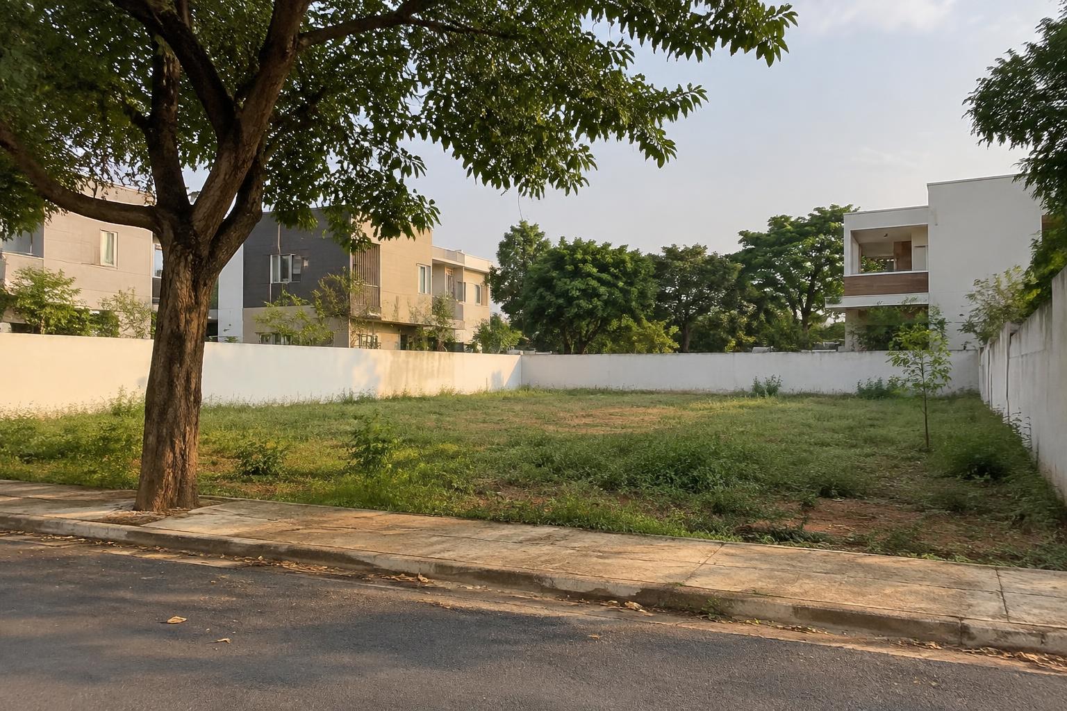
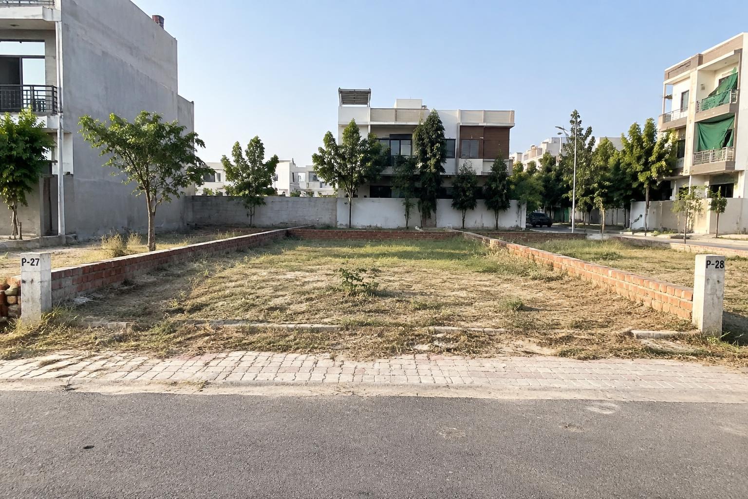
Postal details
As listed in the India Post directory.
- Post office
- Araldihi, Bankata, Bansidih, Bhalukbasa, Bheduasole, Bhojda, Bouridihi, Brajarajpur, Dighi, Gossainjanara, Gourbazar, Gunnath, Hatirampur, Hirbandh, Jeorda, Kayabaid, Mosanjhar, Mosiara, Nayada, Rampur, Silpajambedia, Simlabandh, Supur
- Office type
- S.O
- Delivery status
- Delivery
- Taluk
- Hirbandh
- Postal division
- Bankura
- Head office
- Bankura H.O
- District
- Bankura
- State
- West Bengal
West Bengal state pageStamp duty in West BengalBanglarbhumi: check a khatian and plotLand measurement in West BengalProperty registration, step by step
Nearby pincodes
Closest pincodes in Bankura district, by approximate centre distance, with the homes live in each.
Questions about pincode 722121
Answers from the India Post directory and the state RERA registers.
Which district is pincode 722121 in?
Pincode 722121 is in Bankura district, Hirbandh taluk, West Bengal, according to the India Post directory.
Does pincode 722121 have a delivery post office?
India Post lists Bheduasole as delivery, under the Bankura H.O head office.
Are there RERA registered projects in pincode 722121?
The RERA registers we hold record no project at pincode 722121.
What stamp duty applies to property in pincode 722121?
Stamp duty is set by the state. See the West Bengal stamp duty page for the rates and the source they come from.
Pincode areas from the Department of Posts All India Pincode Directory (data.gov.in, GODL-India), with centres from GeoNames (CC BY 4.0). Centres and distances are approximate.